Laugavegur Trek – Day 4
Laugavegur Day 4: Emstrur (Botnar) – Þórsmörk
- Distance, Time: 15 km, 6 – 7 hours
- Elevation: decrease 300 m
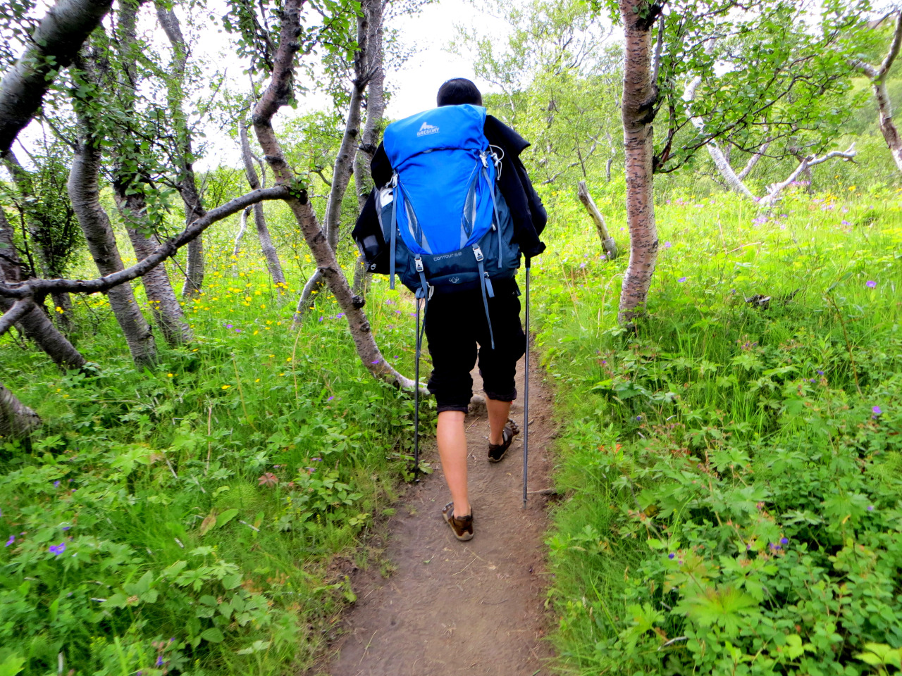
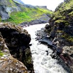
- After 45 minutes on the trail you will take a steep path leads towards the canyon of Syðri-Emstruá. Need to use ropes to descent!
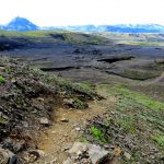
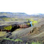
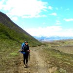
- After which most of the trail is through a hilly area known as Almenningar. This part is quite desolate and your shoes will get quite dirty from the black sand. Ground may be covered with rocks and stones – stable your foot to prevent tripping!
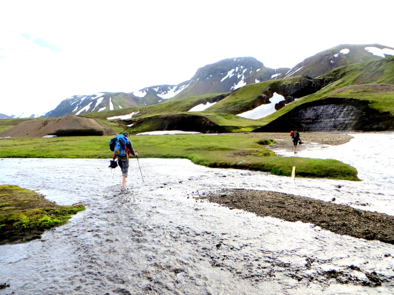
- At the very end, you’ll need to wade across river Þröngá
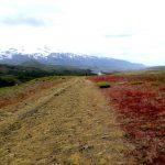
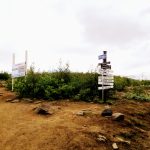
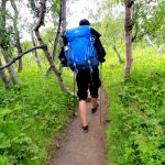
- After crossing Þröngá, there is a landscape and vegetation change – almost forest like. After 30 minutes, you’ll come to an intersection with signs showing directions to different huts in Þórsmörk
- From there, Langidalur hut is ~20-30 minutes away
This was the last day of our hike! We opted not to continue to Skogar because Mark’s ITB was in pain (he had hobbled the entire last day!). We camped at Langidalur hut (very beautiful with nice grassy areas to pitch a tent) and took the Reykjavik Excursion bus next morning back to Reykjavik.
I would highly recommend this hike to ANYONE. It may get a bit crowded (we’ve met at least 20-30 hikers on the trail). You’ll experience different climates and see some of the best views of your life. During summer the sun sets at ~10-11pm (and even then it wasn’t completely dark), so you’ll be able to hike through 2 stops if you have the energy or even take short hikes at each hut.
Hope this walkthrough would be helpful to anyone wanting to do the trek. Feel free to ask any questions by leaving a comment below, or emailing me at contact@markandxin.com

One Comment
Pingback: